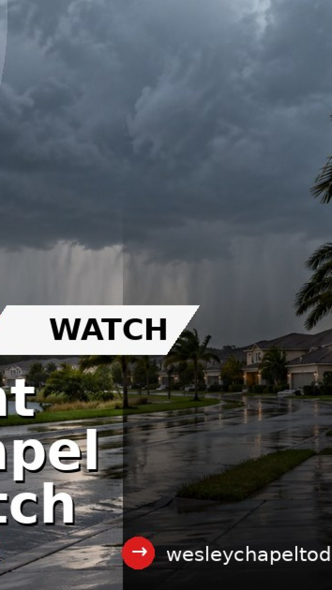


WESLEY CHAPEL, FL - Hurricane Isaias is not a direct Wesley Chapel landfall story right now, but it is still a weekend weather story for local residents to watch.
The National Weather Service Tampa Bay office said Thursday evening that Isaias is moving north through Gulf waters and is expected to make landfall late Friday night or early Saturday. The local office warned that coastal flooding, rip currents, hazardous boating conditions and inland flooding will all be possible for west central and southwest Florida.
For Wesley Chapel, the main practical concern is not storm surge. It is rain, changing conditions, localized flooding and travel impacts across Pasco and the wider Tampa Bay region.
NWS Tampa Bay's local update called for scattered to numerous showers and a few storms tonight and again Friday. That matters for residents who live near low-lying roads, drainage problem spots or areas that can collect water during heavy rain.
Pasco County is also reminding residents that sandbag stations are available 24/7. The county lists two regular self-serve locations: Pasco County Public Works, also known as the C-Barn, at 30908 Warder Road in San Antonio, and Magnolia Valley Golf Course at 7223 Massachusetts Avenue in New Port Richey. Residents should bring a shovel and be prepared to fill their own bags.
The broader message for Wesley Chapel is simple: monitor official updates, avoid flooded roads and do not rely on one forecast snapshot if outdoor plans, commuting or coastal travel are on the calendar this weekend.
Residents should check three official sources before making decisions: the National Hurricane Center for the storm track and advisories, the National Weather Service Tampa Bay office for local impacts and warnings, and Pasco County for local emergency updates and sandbag information.
If a warning is issued for your specific area, follow the official instructions. If water covers a roadway, turn around rather than driving through it. Flood depth is difficult to judge in the dark, and moving water can become dangerous quickly.
The current local picture is not "Wesley Chapel is taking a direct hit." It is "the region is close enough to an active Gulf system that residents should pay attention, prepare for rain and check official sources before heading out."
Sources:
- National Weather Service Tampa Bay Area, FL: https://www.weather.gov/tbw/
- National Hurricane Center, Hurricane Isaias advisories: https://www.nhc.noaa.gov/
- National Hurricane Center, Atlantic Tropical Weather Outlook: https://www.nhc.noaa.gov/gtwo.php
- Pasco County, official website and sandbagging notice: https://www.pascocountyfl.gov/
- Pasco County Sandbagging Stations Available: https://www.pascocountyfl.gov/_T18_R714.php