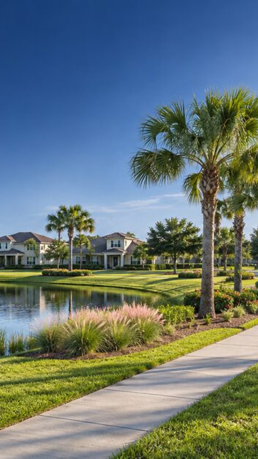


WESLEY CHAPEL, FL — A Community Development District, commonly called a CDD, is a special-purpose local government created under Florida law to finance, build, operate or maintain infrastructure and services for a defined area. It is not the same thing as a homeowners association, and it is not a private company.
The basic model is straightforward. A district is created for a specific geographic boundary. It can issue bonds for eligible infrastructure, levy assessments within the district and use those revenues for authorized public facilities and services. The district is governed by a board, holds public meetings and files information with the state. The assessment may appear on a property tax bill or be collected through another authorized method, depending on the district.
CDD money is tied to the district’s legal purpose. It can support infrastructure such as roads, drainage, stormwater facilities, landscaping, parks, streetlights or other community facilities authorized in the district’s documents. It does not replace Pasco County government, and a CDD does not control every service in a neighborhood.
The number needs careful wording. The Pasco County Supervisor of Elections’ special-district page lists 72 entries whose names include “Community Development District.” That page is a local directory, while FloridaCommerce maintains the state’s official list and includes status information, including districts declared inactive. The 72-entry count should therefore be read as the number listed on the Pasco page, not as a claim that every entry is active or serves Wesley Chapel.
The Pasco listing identifies districts connected to Wesley Chapel and nearby communities including Bexley; Concord Station; Connerton East and West; Copperspring; Country Walk; Epperson North, Epperson Ranch and Epperson Ranch II; Hidden Creek North; Lake Padgett Estates; Lakeside; Lexington Oaks; Long Lake Reserve; Meadow Pointe; Meadow Pointe II, III, IV and V; Mitchell Ranch; Oak Creek; Oakstead; Preserve at Wilderness Lake; Riverwood Estates; Seven Oaks; Summit View; Talavera; The Groves; The Preserve at Wilderness Lake; The Verandahs; Water’s Edge; Watergrass II; and Wesbridge. The district boundary map should be used to determine which parcels are actually inside each district.
For residents, the benefit is visible in the physical systems that make a new or expanding community function: drainage, roads, landscaping, ponds, lighting and shared public amenities. The tradeoff is that owners inside a district can pay assessments and may be affected by board decisions, budgets, bond obligations and maintenance plans. A CDD meeting can discuss or approve items, but an agenda item is not automatically a final decision.
The practical way to follow a CDD is to identify the district for the property, read the agenda and budget, check the assessment, and attend or review the public meeting materials. Pasco’s GIS service publishes CDD boundary data, while the state list provides the legal and administrative record.
Illustrative diagram. It does not show every CDD power or service.
Illustrative infrastructure graphic. It does not identify a specific neighborhood.
Service checklist for residents; it is not legal or tax advice.
Sources:
- https://www.leg.state.fl.us/Statutes/index.cfm?App_mode=Display_Statute&URL=0100-0199/0190/0190.html
- https://www.pascovotes.gov/voters/government_officials/special_district.php
- https://www.floridajobs.org/community-development/community-planning/special-districts/special-district-accountability-program/official-list-of-special-districts/about-the-official-list-of-special-districts
- https://maps.pascopa.com/arcgis/rest/services/CDD_map/MapServer